Electronic Chart - Ontario
Manufacture ID: 600053-1
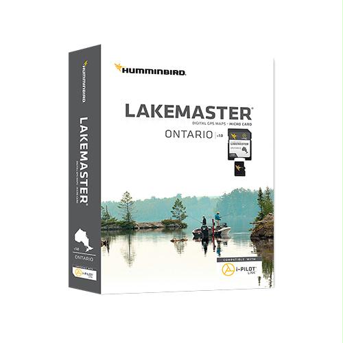
The Humminbird LakeMaster Ontario Edition, Version 1 microSD map card is loaded with contours for over 550 lakes within Ontario. Additionally, included coverage exists for many border waters and the Great Lakes: Michigan, Superior, Huron, Erie & Ontario.
Features:
- Updated shallow water areas for Lake Michigan and parts of Lake Superior
- Full coverage of Lake Superior
- All of Lake Huron (now including Georgian Bay)
- Beaver Island on Lake Michigan in High Definition
- High Definition Survey of Lake St Clair (including the Canadian side)
- Updated the St. Clair River High Definition survey (including the Canadian side)
- Updated the Detroit River High Definition survey (including the Canadian side)
Plus High Definition surveys for border waters including:
- High Definition survey of Falcon Lake, Manitoba
- Crane, Rainy River, Minnesota
- Kabetogama, St. Louis, Minnesota
- Namakan, Rainy River, Minnesota
- Sand Point, Rainy River, Minnesota
- Barr, Manistee, Michigan
- Bear, Muskegon, Michigan
- Macatawa, Ottawa, Michigan
- Pentwater, Oceana, Michigan
- Pere Marquette, Mason, Michigan
- Skegemog, Antrim, Michigan, and more!
Also with the Ontario Version 1 microSD map card, you’ll enjoy all of the LakeMaster features including the following:
- i-Pilot® Link™ compatible
- Easy to read contours
- Depth Highlight Range
- Water Level Offset
- Shallow Water Highlight
- Scrollable Lake List

