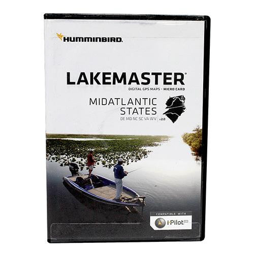
Mid Atlantic States, February 2017
Mid Atlantic States, February 2017
Manufacture ID: 600043-3
Innovative Humminbird LakeMaster digital GPS maps combined with groundbreaking Humminbird Sonar will put you on the fish. The MidAtlantic States Version 2.0 map card has many standard and high definition lake maps for Delaware, Maryland, North Carolina, South Carolina, Virginia, and West Virginia, along with points of interest and a base map. To ensure the lakes you fish are included on this card, please visit: www.humminbird.com to view the complete list.
Features:
- Shallow Water Highlight
- Depth Highlight
- Water Level Offset
Includes:
- Micro card with SD adapter
- Waterproof carrying case
Specifications:
- Compatible with iPilot
- States Covered: Delaware, Maryland, North Carolina, South Carolina, Virginia, West Virginia

