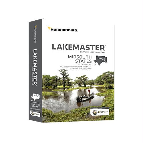
Midsouth States
Manufacture ID: 600009-7
The Humminbird LakeMaster MidSouth Edition, Version 4 microSD map card has added over 80 new lakes, with 55 additional High Definition waters. This edition now boasts contours for a total of over 360 lakes with more than 250 lake maps in High Definition for Texas, Oklahoma, Arkansas, Louisiana, and Mississippi.
Features:
- Complete High Definition survey of Toledo Bend, Texas/Louisiana
- High Definition survey of Conroe, Texas
- High Definition survey of Fork, Texas
- High Definition survey of Texoma, Texas
- High Definition survey of Ray Hubbard, Texas
- High Definition survey of Ray Roberts, Texas
- High Definition survey of Atkins, Arkansas
- Also with the MidSouth Version 4 microSD map card you enjoy all of the LakeMaster features including the following:
i-Pilot Link compatible
Easy to read contours
Depth Highlight Range
Water Level Offset
Shallow Water Highlight
Scrollable Lake List

